Netrokona
Historical Background
Netrokona, a district in central Bangladesh, has a rich historical tapestry woven with various rulers and regimes. In the fourth century AD, the area was part of the Gupta Empire. The Guptas controlled a significant portion of this region, including areas under the Kamrupa kingdom. By 629 AD, when the Chinese traveler Xuanzang visited Kamrupa, the kingdom was ruled by Brahman Kumar Bhaskar Varman.
During the late 13th century, northern Mymensingh, including Netrokona, was managed by local rulers like Vaisiguri and Durgagoro. Muslim rule briefly emerged at the end of the 13th century but was not firmly established until the 14th century. A significant Muslim presence was noted during Alauddin Hussain Shah's reign (1493-1519), consolidating Muslim rule in the region.
Netrokona became part of the Mughal Empire during Emperor Jahangir's reign (1605-1627). In the British era, Netrokona subdivision was formed in 1882, later becoming a district in 1984.
Geographical Features
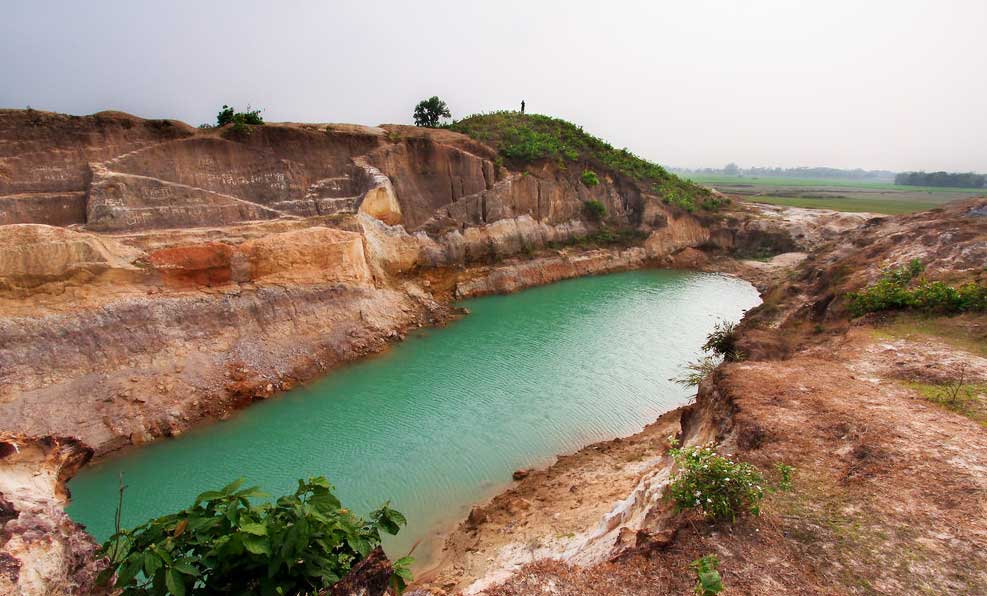
Netrokona spans 2,810.40 square kilometers and is characterized by its haor (wetland) areas, particularly in Upazilas like Khaliajuri, Mohanganj, and Kalmakanda. The district is bounded by the Garo Hills of Meghalaya, India, to the north, Kishoreganj to the south, Sunamganj to the east, and Mymensingh to the west.
The climate of Netrokona features an average maximum temperature of 33.3°C and a minimum of 12°C, with an annual rainfall of 2174 mm. The district is crisscrossed by several rivers, including the Someshwari, Kangsha, Magra, Dhanu, Dhala, and Teorkhali.
Administrative Structure
Netrokona district comprises 10 Upazilas: Atpara, Barhatta, Durgapur, Khaliajuri, Kalmakanda, Kendua, Madan, Mohanganj, Netrokona Sadar, and Purbadhala. It also includes 5 municipalities, 36 wards, 102 mahallas, 86 union parishads, and 2281 villages.
Demographics and Economy
As of the 2011 census, Netrokona's population stands at approximately 1,937,794, with a near-equal gender distribution. The literacy rate is 39.44%, with higher literacy among males (31.2%) than females (20.4%). The majority religion is Islam (83%), followed by Hinduism (14%) and others (3%). The district is also home to ethnic communities such as the Garo and Hajong.
Netrokona's economy is primarily agrarian, with over 52% of the population engaged in agriculture. The main crops include paddy, jute, wheat, mustard seed, and potatoes, while significant fruits are jackfruit, mango, banana, lemon, coconut, papaya, and palm.
Historical and Cultural Significance
Netrokona has been a center of various historical movements, including the British peasant revolts, the Tonk and Tebhaga movements, and significant events during the Bangladesh Liberation War. The district boasts several cultural and historical sites, such as the shrine of Hazrat Shah Sultan Rumi, Roail Bari Fort, the Dighi of Kamol Rani, and the Buddhist Math at Krishnapur.
Education and Notable Personalities
Netrokona is home to several educational institutions, including primary teacher's training institutes, law and nursing colleges, and notable high schools. Noteworthy individuals from Netrokona include Shahabuddin Ahmed, former President and Chief Justice of Bangladesh; writer Humayun Ahmed; and poet Nirmalendu Goon.
Places of Interest
Netrokona offers various attractions, including:
- Durgapur: Near the Indo-Bangla border, known for the Garo Pahar.
- Birishiri: A scenic tourist spot with an indigenous cultural academy.
- Shrine of Hazrat Shah Sultan Kamar Uddin Rumi: Located in Madanpur.
- Roail Bari Fort: In Kendua.
- Dighi of Kamol Rani: A historic pond.
- Buddhist Math: At Krishnapur of Atpara.
Transportation and Communication
The district has a robust communication network, with 468 km of pucca (paved) roads, 3403 km of earthen roads, 138 km of railways, and 200 km of waterways. However, some areas, like Khaliajuri Upazila, face communication challenges during the rainy season.
Modern Developments
Netrokona continues to develop with initiatives like the establishment of Sheikh Hasina University, approved in 2017 and inaugurated in 2018. This comprehensive university aims to enhance the region's educational landscape.
Conclusion
Netrokona is a district rich in history, culture, and natural beauty. From its early days under the Guptas to its present status as a vital part of Bangladesh, Netrokona's journey is marked by significant historical events and cultural developments. The district's diverse geography, vibrant economy, and robust educational institutions make it a unique and integral part of Bangladesh.
